Piwi Goes to Piwi
by Ho Ho
It was a beautiful morning when we got up at our Kahshahpiwi campsite, a little warmer than yesterday, maybe the mid-40s, with no wind and a mix of sun and clouds. We enjoyed coffee and breakfast at our scenic site, then got ready to go.
Here's David and a lazy Piwi as we finished packing up -

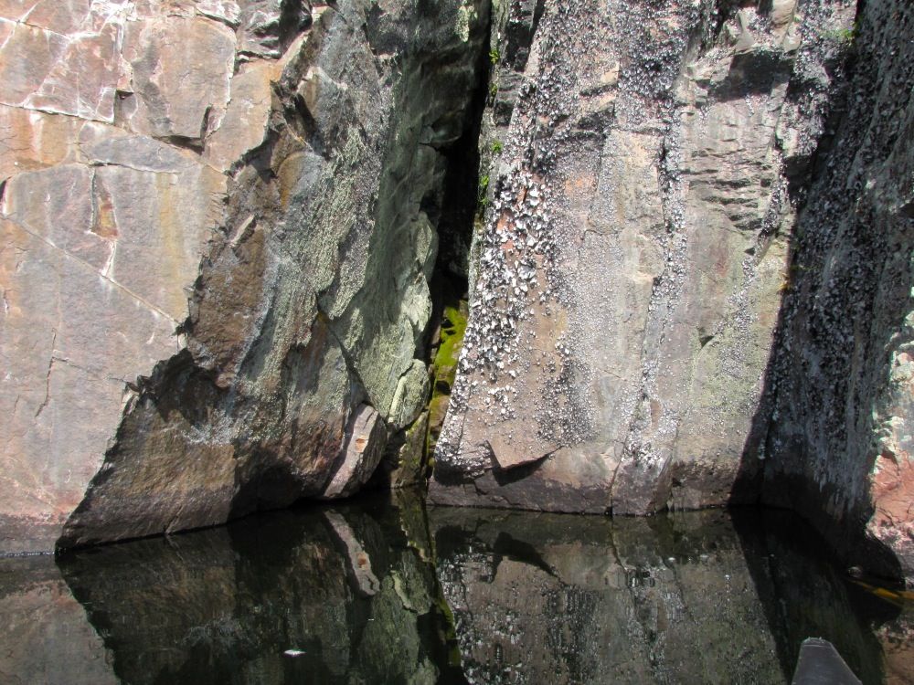
We got on the water about 9:45. Our first order of business was to retrace yesterday's route for a half mile back to the pictograph cliffs at the south end of the lake. I don't remember much about the pictographs, but the cliffs they are on are impressive. We paused to admire them -

Cliffs -

Close-up at the waterline -
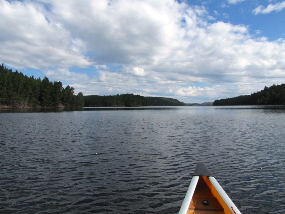
After lingering at this scenic spot for a while, we turned around and headed back north -
We paused on our way back to take a picture of our campsite island, which is in the center of picture below (with the campsite itself on the left side of the island) -
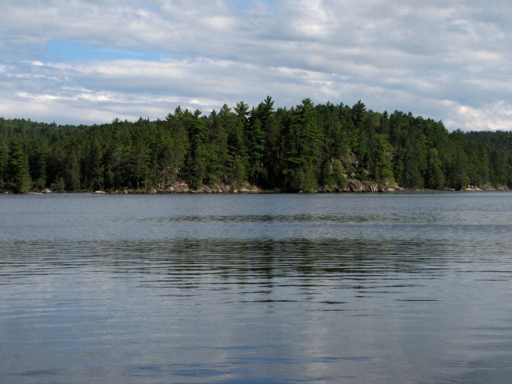
Much to our surprise, we noticed the gear of other campers on the mainland just a short distance to the north. If you look closely at the right side of the picture above, you can see the gear out on the rocks by the water. We didn't see or hear anyone else all day yesterday and had no idea there were other campers so close by. Their gear would be the only sign of other people we would see today, too.
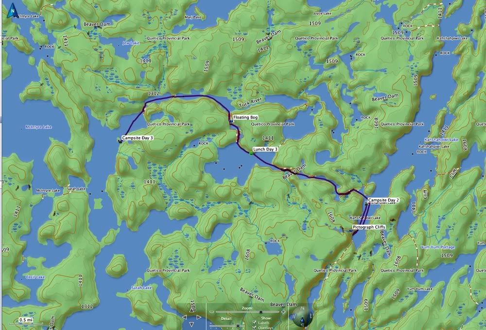
Our plan for the day was to travel to the north end of Sarah Lake via a little-used route through Irene Lake (which is unnamed on some maps, including the one above - it's the lake where our lunch spot is marked). We had never used this route before, and were excited to give it a try.
The first portage of the day started from a bay hidden behind the island where we had just camped. The beginning of the portage path passes beneath some high (and hard-to-photograph) cliffs -
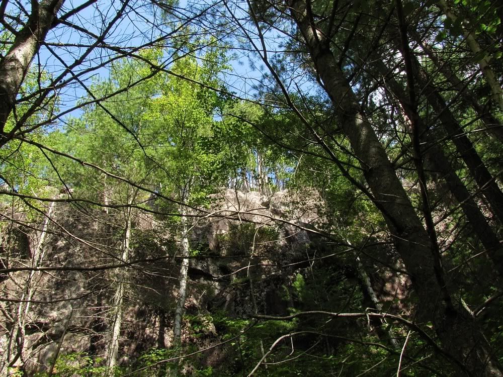
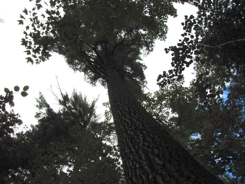
Those cliffs shelter some tall pines -
Beyond the cliffs, the 80-rod portage rises about 100 feet to the first of two ponds on the way to Irene, with a quick liftover between the ponds. At the far end of the second pond, another 80-rod portage drops down sharply to Irene Lake. This picture looks back at the second pond from the beginning of the Irene portage, which is almost like a big rubble dam holding back the pond -

Irene Lake itself was very pretty. I could see coming back to camp there sometime. But today we just stopped for lunch at a nice site on the north shore of the lake. An otter stuck its head out of the water for a look at us while we ate. Alas, the camera stayed packed away.
Our morning route into Irene was up then down, and our afternoon route out of Irene proved to be the same. The first portage out was about 70 rods that went up about 80 feet before dropping back down a bit to small boggy tarn. Although the weather had been perfect all day, while we crossed this portage the sky blackened and we were hit with a sudden downpour. We pulled on our raincoats and took refuge under a thick pine canopy to wait out the worst of the rain, then carried our second load of gear across. Soon the sun was shining again, and the temperature probably got into the low 70s - plenty warm for portaging.
We loaded up the canoe at a mucky landing and paddled across the tarn, where we found the landing for the next portage on a floating bog. It was a little tricky unloading the canoe where the land sank underwater when you stepped on it. Here I model the sinking effect - you can see the bog mat sticking out into the water in front of me -
Piwi checking out the suspicious turf -
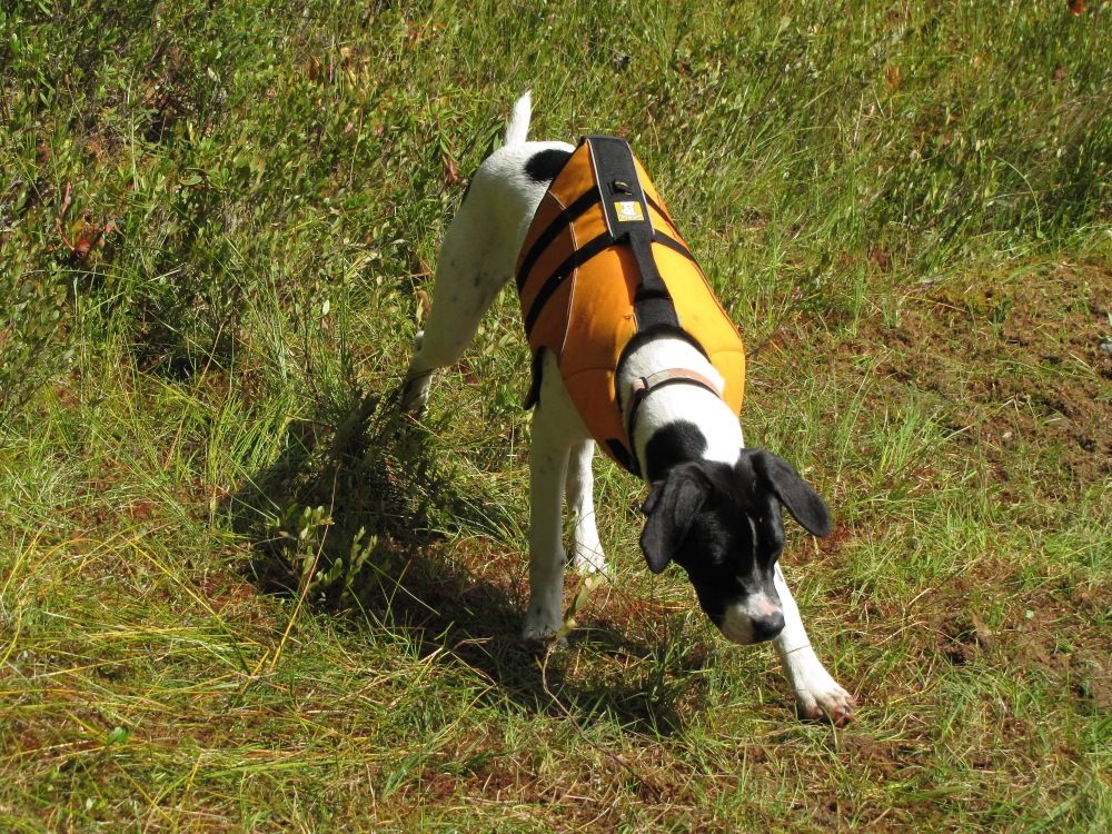
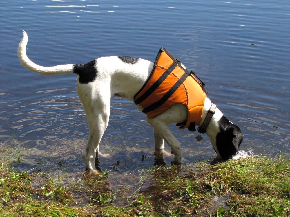
She discovered that if she stood on the edge, the water would come to her for a drink -
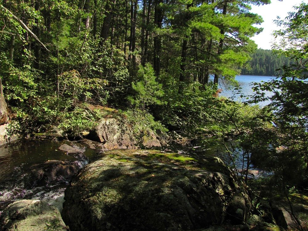
This picture looks back at the tarn from the first stretch of the portage path. Notwithstanding the presence of corduroy, the footing was firm once we got off the floating mat -

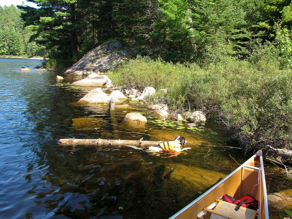
After its initial flat section, this 80-rod portage also dropped about 100 feet to the Tuck River, which we would follow the rest of the way to Sarah Lake. On our first trip across the portage there was a sizeable log blocking the landing at the Tuck River end. I shoved the log out of the way into the water, and we went back for the rest of our gear. When we returned, Piwi saw that log floating offshore and immediately swam in after it, got a grip on one end, and towed it back to shore. She just can't let a good "stick" go to waste. By the time we got the camera out, she was just getting to land with the log -
We lured Piwi away from her big stick and into the canoe, then paddled downstream on the scenic Tuck River. There was one brief portage between river sections, then another portage where the river empties into Sarah Lake. This is the river outlet at the end of that last portage -
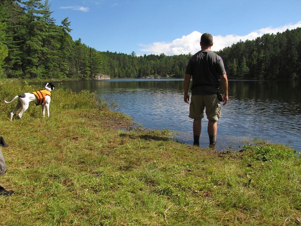
From the portage landing we could see the island where we hoped to camp this night. We paddled over and found a very pleasant site on the pine-studded island -

We got to our camp around 4:00, so we had plenty of time to laze around and explore. This is the view southward from a rock outcrop on the island-
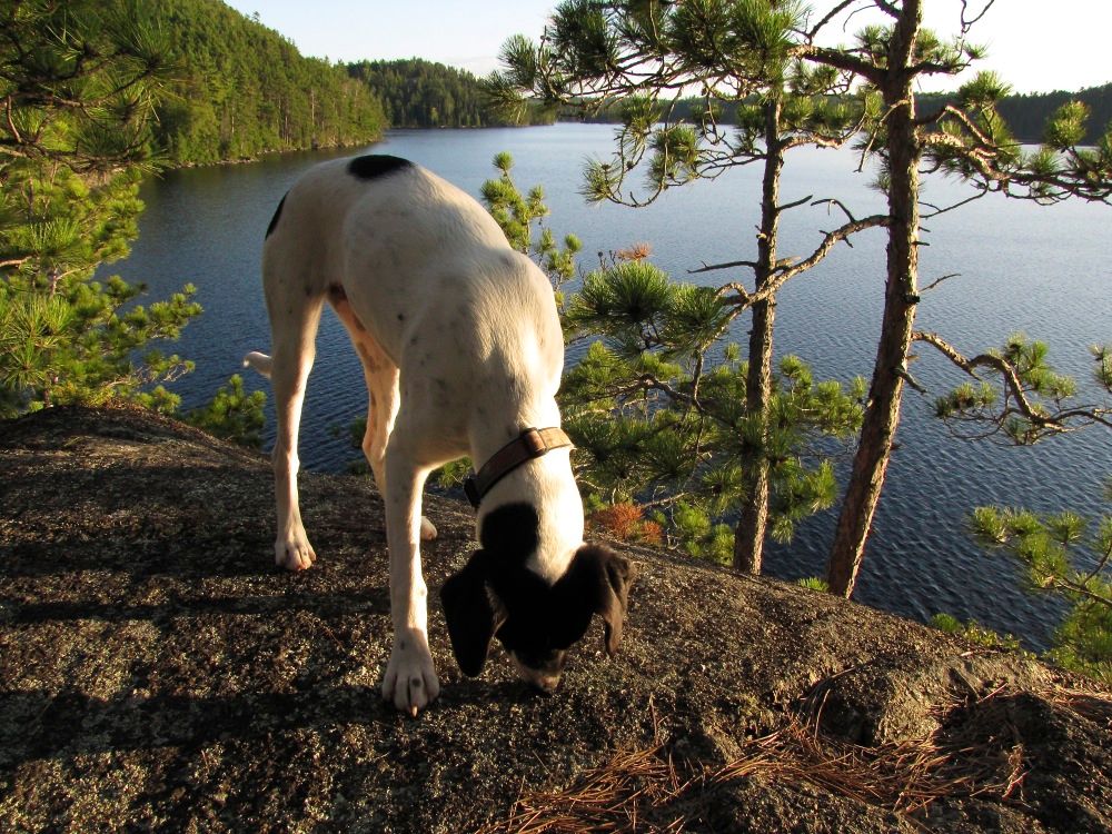
I think Piwi detected some crumbs left behind by previous tenants -
While circumambulating our island we came upon this pretty mushroom emerging from the moss -

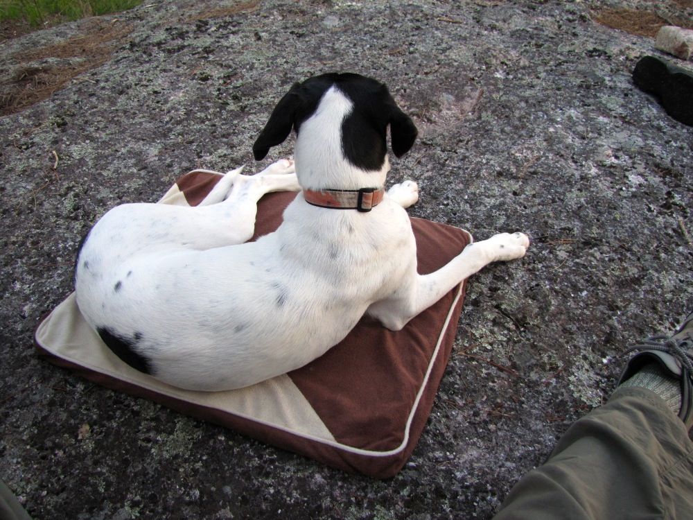
At dinnertime we faced one of the challenges of camping with the puppy: we had no table to elevate our meals above her extremely interested snout. At home Piwi is trained to stay in her bed during mealtimes. So we got out her travel bed in an attempt to replicate that behavior at the campsite (with mixed success) -
Later on, as the humans sipped their Maker's Mark, Piwi decided the grass was a more desirable resting spot -

Then it was time to crawl into the tent for a well-earned night's sleep.
Total distance traveled Day 3: 9.5 miles (including all trips across portages).
 Donate - BWCA.com