Quetico 2011
by Ho Ho
Our annual Quetico trip almost didn't happen last summer. We had moved to Ely in the spring, and you would think that would make a Quetico trip easy. But the summer quickly filled with visitors and other obligations. Then work blew up. The only bad thing about being semi-retired is the "semi" part. Fortunately, my work schedule got resolved and cleared the way for an early September trip.
Our route this year crystallized around a desire to revisit the "McEwen Chain," a series of small lakes north of Louisa along McEwen Creek. David and I had traveled north to south through there on our first trip to Quetico together in 2001. We remembered the area as fairly remote and little traveled - perhaps because of the 12 rugged portages that stand between Louisa and McEwen Lakes.
Now we were eager to go back. So we decided to start our trip by going north on the McEwen Chain. From there we could travel up the Falls Chain to Saganagons Lake, then return to Prairie Portage via the Man Chain. We had done the Man and Falls Chains in the opposite direction as part of a bigger loop in 2003. And we had gone back to the Man Chain again just two years ago, in 2009. So this trip would largely involve revisiting areas we had been to before, some recently, some a decade ago.
We secured our entry permit for the day after Labor Day. As the date approached, the weather forecast looked almost too good, with daytime highs in the 60s or low 70s, crisp nights, and nary a chance of rain. We spent the holiday weekend packing up while hanging out with friends and family in Ely. Then it was time to get under way.
Day 1 (Tuesday, September 6, 2011) -
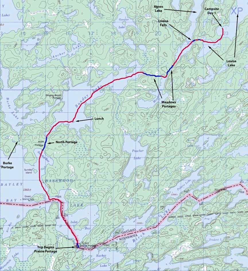
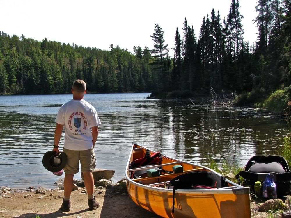
We started this trip with a tow to Prairie Portage so we could make it to Louisa our first night. After speeding up the Moose Chain by motorized means, we checked in with Jason, the Quetico ranger at Prairie Portage. He has a reputation as not always being the most friendly civil servant. But I've found that if you're friendly to him, he can warm up pretty quickly.
Jason briefed us on the forest fires burning in the region during this dry late summer. The big one was on the American side - the Pagami Creek fire, which had recently grown, but was still pretty small and apparently under control. There were also very small fires near our route around Sunday Lake and (I think) Jeff Lake, but they should not give us any problem.
Jason also supplied us with a close-up map of the portages in the Falls Chain and reviewed safety when paddling near the falls. I don't remember getting that information for our last trip through the Falls Chain in 2003. Last but not least, he said he didn't think any groups had gone up to Louisa recently. Apparently one or two big groups will go there to base camp every year, but it's often people-free.
Finally, about 10:15, we were ready to launch into the Canadian waters of Basswood Lake -
We paddled up Inlet Bay, then donned our PFDs before venturing through the narrows out to Bayley Bay, where we were met by a troublesome but manageable side wind. We were heading for the North Portage, which we had never taken before. On our first joint trip to Quetico ten years ago, the outfitter told us to avoid the North Portage and use the Burke Portage (or "Yellow Brick Road") instead. And that's what we had done ever since.
This seemed like a good year to rectify our omission and try the North Portage. Right off we discovered one advantage it has over the portage to Burke - getting to the North Portage requires less paddling across the frequently wind-tossed open waters of Bayley Bay. We just followed the shoreline of Bayley Bay north a short distance, then ducked behind Sunday Island and into Sunday Bay.
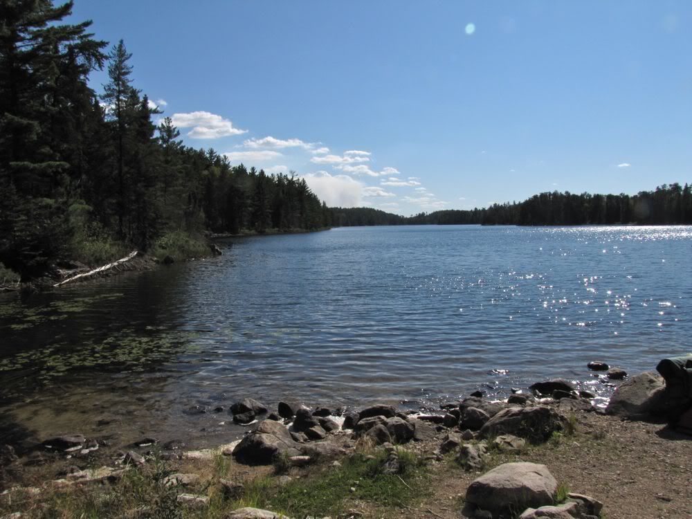
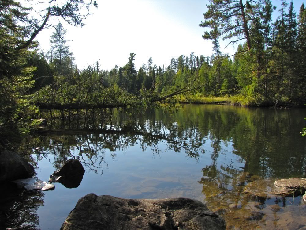
This picture looks back at Sunday Bay from the portage landing. The big white "cloud" to the left is from the Pagami fire -
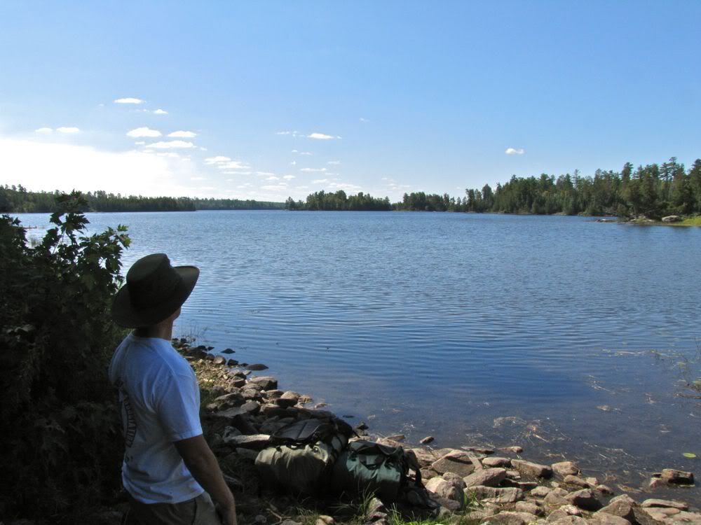
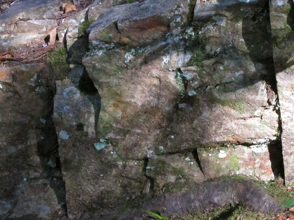
North Portage turned out to be fairly tame and well-maintained. It might be more of a slog in wet conditions, but that was not a problem after months of dry weather. This ancient blaze marked the way -
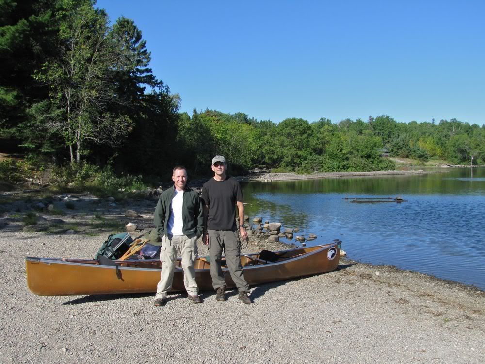
After 140 rods, we arrived at Sunday Lake -
We hadn't gone far yet, but our stomachs told us it was lunchtime. So we stopped to eat on a pretty island in Sunday Lake -
After lunch, a tailwind helped us down the length of Sunday to the first of the two Meadows Portages. Looking back from the portage landing -
Together, the two Meadows Portages add up to about a mile of fairly rugged portaging. And they are separated by a mere 100 yards or so of paddling at the extreme north end of Meadows Lake. That's barely enough for a break from carrying those heavy first-day packs, especially when you factor in the need to load and unload the canoe an extra time.
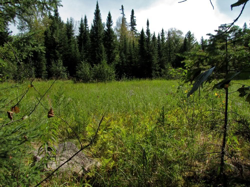
The first portage is the longer of the two at almost 200 rods, but comparatively easy. A meadow provides some variety along the way -
Taking a breather at the end of the first portage on Meadows Lake -
On our past trips through here, we've broken up the two portages by stopping to camp on Meadows Lake. It's a good little lake and has some nice campsites that most people don't see as they zip between the portages at its extreme north tip.
We, too, were just zipping through today. This picture looks down the length of Meadows Lake after we paddled the short distance to the second portage, with the Pagami plume visible in the distance -
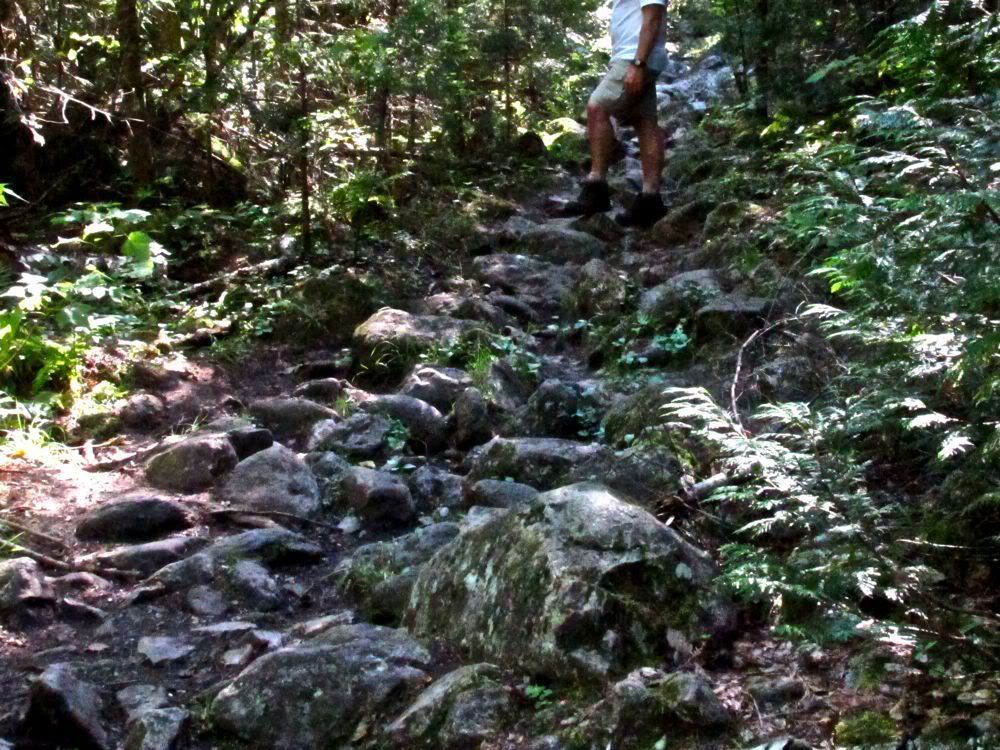
The second portage is considerably shorter than the first. But its 110 rods are an ankle-threatening morass of rocks -
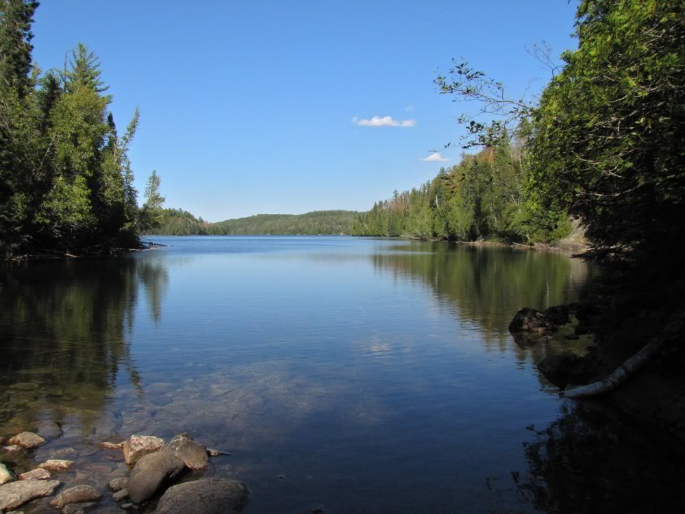
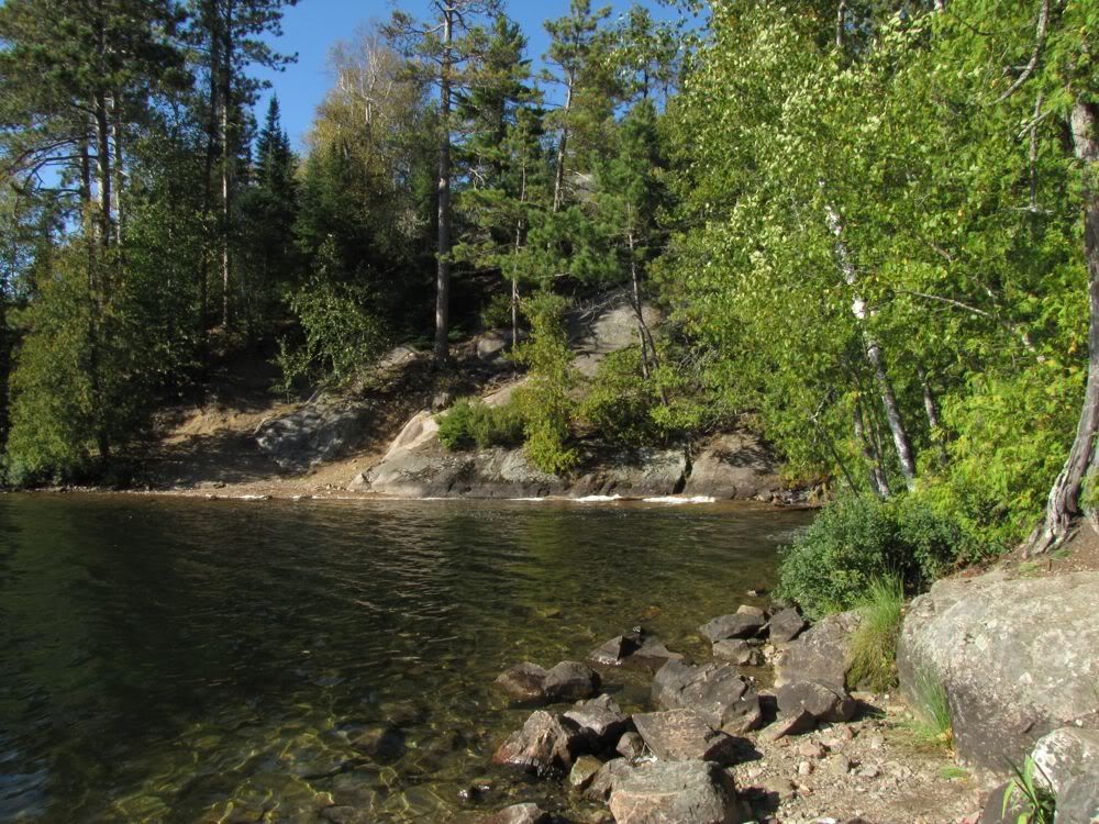
The ankles made it unscathed to the southern tip of Agnes Lake -
Agnes stretches 14 miles north from where we stood. But today we were paddling only a short segment, to where Louisa Falls tumbles into the lake.
From down on Agnes, the falls are largely hidden from sight behind a dense curtain of trees. But their presence is betrayed by the roar of the water crashing down from Louisa Lake into this little bay -
The falls drop almost 100 vertical feet. And the portage goes right beside the tumbling cascade in a sheer ascent straight up the steep rock wall. The route is not so much a path as a bare scramble over loose dirt and gravel and jagged rock outcrops. In this picture of part of the falls, the portage "trail" is in the foreground -

I know I carried a canoe down this slope when we were heading in the other direction in 2001, but frankly, I don't know how. This time I was glad to be going up. It wasn't that easy with the canoe, but I'm pretty sure it would have been harder going down.
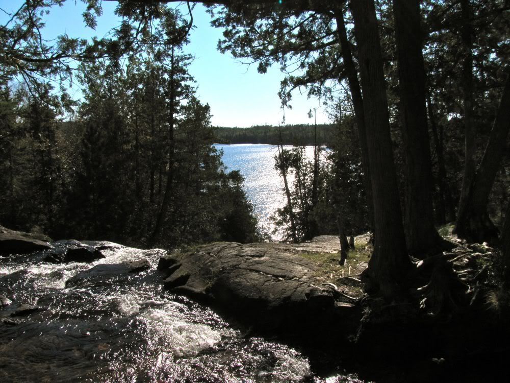
Once up top, the water seemed placid among the cedars as it prepared for its mad dash over the precipice -
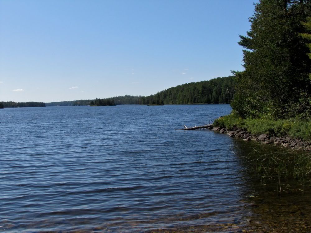
The view out over Agnes -
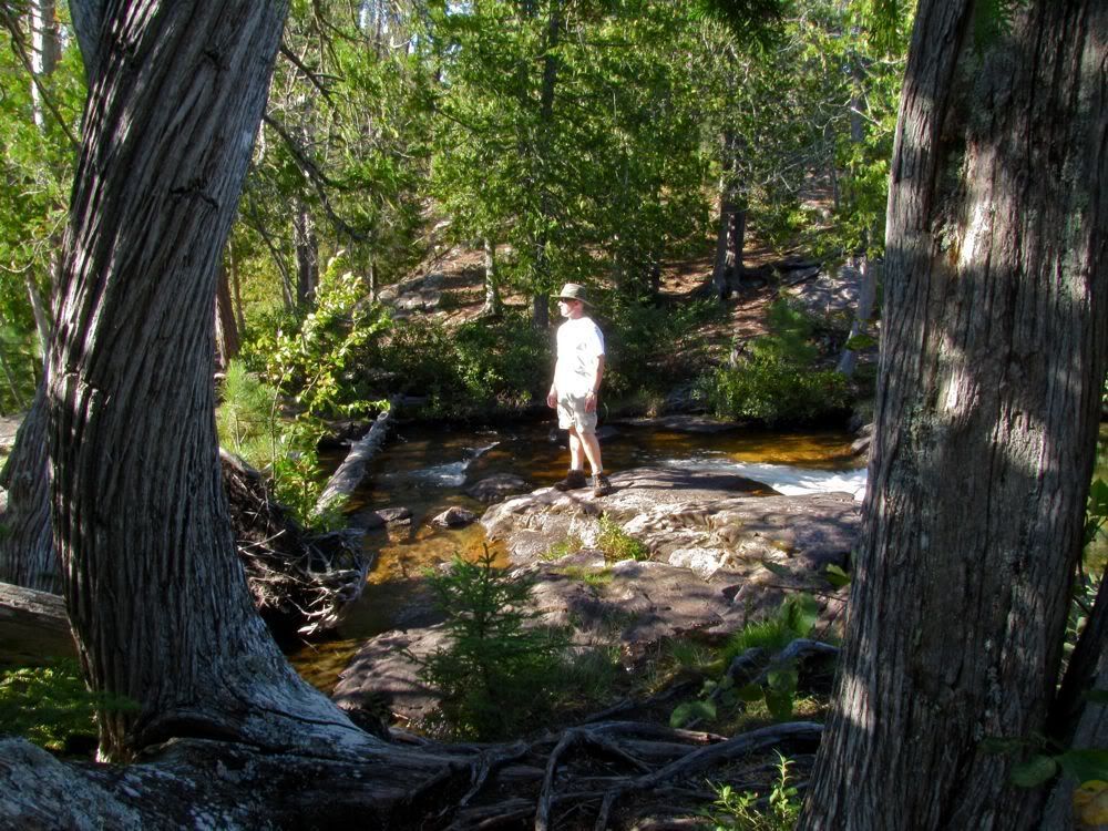
Contrary to what the maps all suggest, you have to cross two portages between Agnes and Louisa, not just one, with a stretch of paddling in between along the marshy creek that empties into the falls. This is the creek at the upper end of the first portage we had just scrambled up -
And this is at the beginning of the second portage, after paddling a short distance along the creek -
This second portage was somewhat tougher than I recalled from 10 years ago, with lots of jagged rock to clamber over -
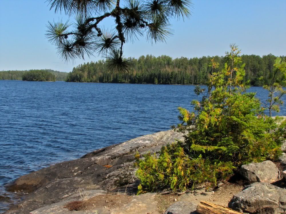
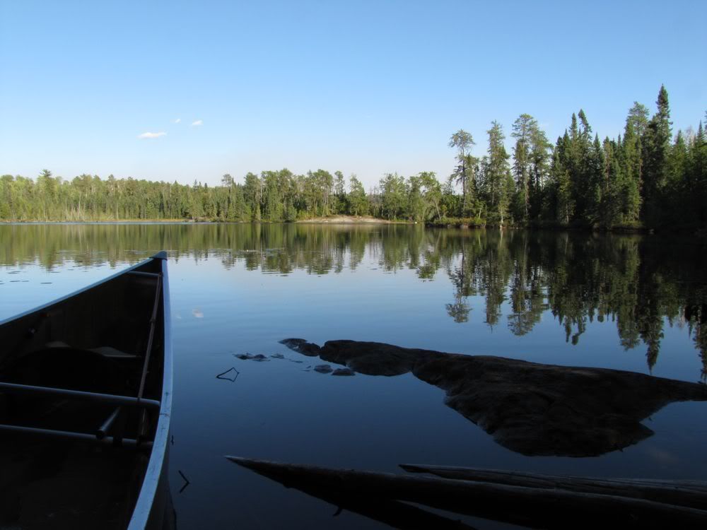
Finally we arrived at our goal for the day, Louisa Lake -
We had seen a few people off and on throughout our travels today. But even though Agnes Lake is a virtual canoe highway and Louisa Falls is a major tourist attraction (at least by Quetico standards), few visitors seem to venture beyond the top of the falls to Louisa Lake itself. I guess that's because most people don't want to carry their gear up or down that sheer rock wall. Or maybe because Louisa Lake leads "nowhere" - only to a chain of little lakes separated by an even dozen portages. Whatever the reason, it looked like we had Louisa to ourselves now.
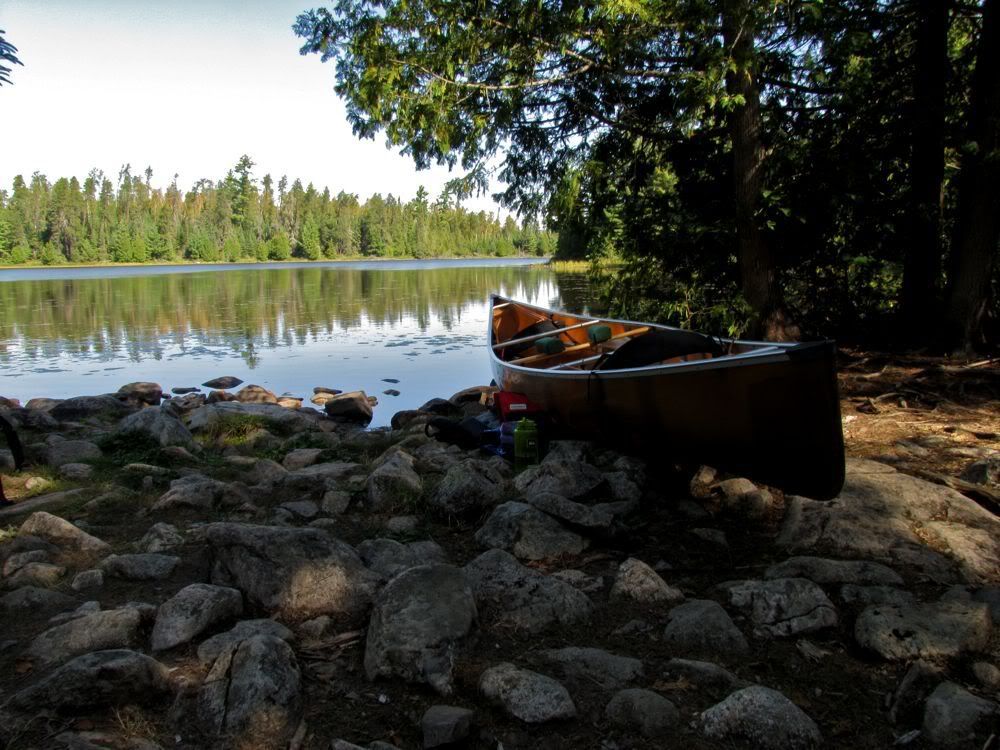
We were also pretty worn out from our first day. So even though we had some recommendations for campsites further up the lake, we headed for the closest site, which our friend Tom (aka Uncle Moose) had mentioned in a trip report. We got to the site about 5:15. Maybe it wasn't 5 stars, but it had a good tent pad, a fire ring, a decent swimming spot, and a view of the lake in the evening light. We were satisfied customers.
Despite the warm evening, we needed a fire to cook our first-night ribeyes. With that in mind, I'd grabbed some birch bark and firewood that were handy at the end of the last portage. But then I forgot to put the fuel in the canoe when we were done carrying our second load across. Now at the campsite I couldn't find a single bit of birch bark to kindle the fire. David suggested just using twigs, so I carefully built a structure with tiny twigs at its core surrounded by progressively bigger pieces of wood. Wow did that thing burn! Our northern forest was dry, that was for sure.
One chore we got to skip tonight was hanging a rope to hoist the food pack. We'd made the switch to bear vaults. We had two of them. They didn't hold all our food, so we put the rest in a pack that we hung from a stub on the side of a nearby tree, a bit off the beaten path. What an improvement over the time and effort needed to hang a rope out of reach of an enterprising bear - often a futile task in any event.
After a great steak dinner followed by our nightly Maker's Mark overlooking Louisa Lake, we hit the sack at the early hour of 9:00. David fell asleep right away, and I dozed off quickly after a bit of reading, happily exhausted by our first day in Quetico.
 Donate - BWCA.com